An idea · World Scout Jamboree 2027
The 26th World Scout Jamboree sails on the Martwa Wisła at Sobieszewo, near Gdańsk, in the northern summer of 2027. I went to a preparation weekend there, training to skipper on the river programme, and ended up building a wind page — first for myself, then because it looked like it might help the crews and instructors too. This is that page, and a short account of how it works. It isn't official, and I'm not on the river team; it's an idea for how the Bay and Lakes pages could carry over to a Scout activity on the other side of the world.
What it does
The page reads live wind from the marina and the coastal stations around Sobieszewo, so a crew or an instructor can see at a glance whether the river is sailable, and get rigging guidance for the Puck. Every page has an English / Polish toggle at the top right — the Polish is a machine draft for now, waiting on a native speaker.
The boat
If you're coming to the Jamboree to sail, this is the boat you'll be in, and I couldn't find a description of it in English anywhere — so here is one. The Puck is a small training dinghy used by the Polish Scouts. What makes it worth knowing is the story behind it: the design is owned by the Scouts themselves, not a commercial builder. There can't be many boats in the world like that. A fleet of Scout-owned boats sailing a World Jamboree is a quiet point of pride, and a good showcase for the Polish Sea Scouts and the people who build them.
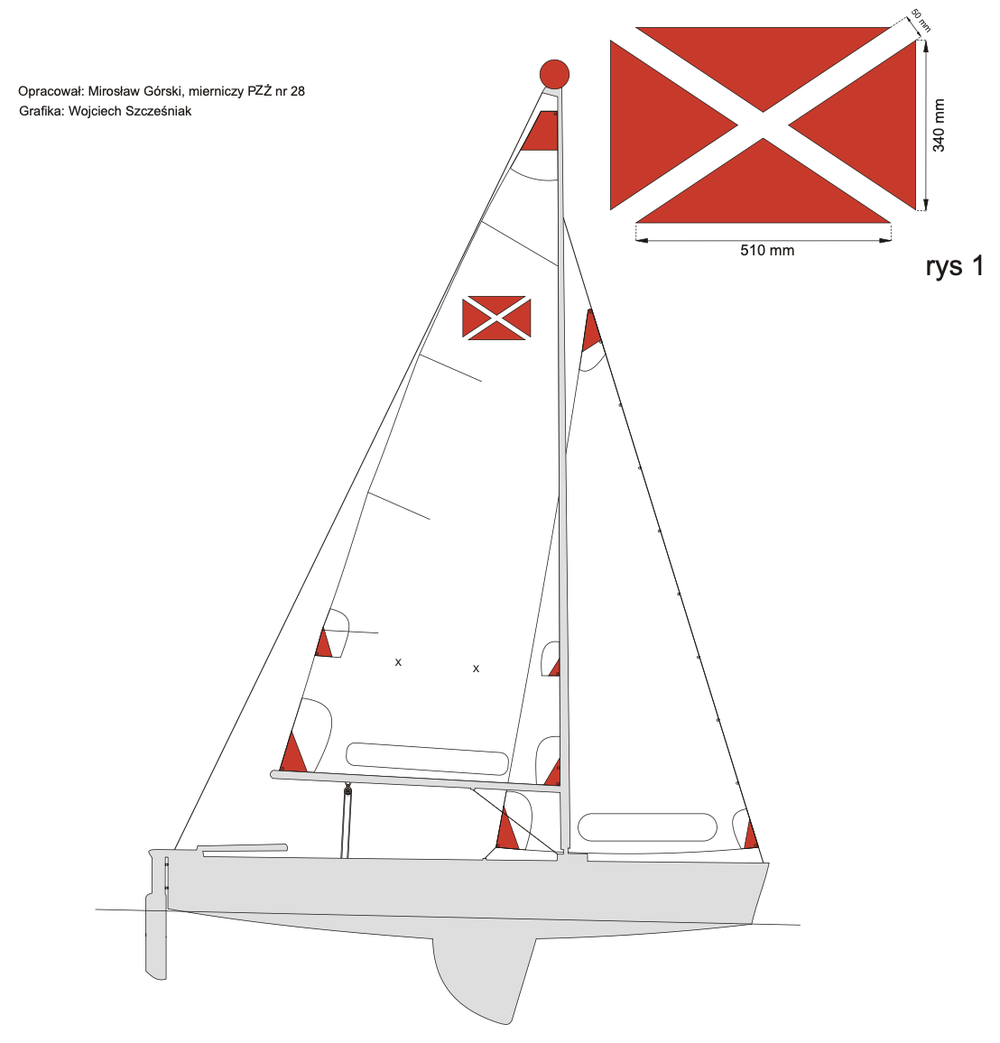
The reefing guidance and the wind limits on the page come straight from the Puck's own documentation — nothing I've invented. If the river team has better bands from experience, they'd be easy to correct.
More about the Puck →Before you pass
Mast up, a Puck stands about seven metres; the closed bridge gives five. So to get down the river, the bridge has to open. The page carries its opening times, who to call, and the clearance — the sort of detail that settles a day before the wind gets a say.
Bridge times & clearance →Where it stands
It's a first draft, and I've sent it to the river team to see whether it's useful, what's missing, and whether it's needed at all. The readings are automatic and unchecked — I've no way of knowing whether the water really looks that way. Anyone sailing should confirm conditions on the river before they go out.
A thought on it, or a correction? wind@aurorasailing.com.au
